One of the most rewarding aspects of our work at Dulas is helping clients to get a renewable energy project out of the starting blocks by exploring feasibility early on. We can help to identify the most suitable site for installation, both in terms of geographical feasibility and obtaining planning permission. One of the first steps in this process employs Geographic Information Systems (GIS) to conduct desktop research.
What is GIS?
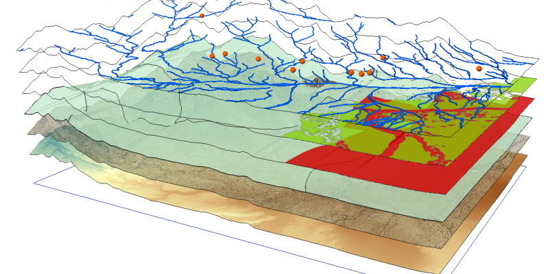
There are many factors that need to be taken into consideration when assessing whether a site is suitable for the location of a renewable energy project. GIS is a very sophisticated system with many applications, used across different industries globally. Essentially, GIS connects data to a map, integrating location data (where things are) with all sorts of descriptive data (what things are like there). It is an invaluable tool for those working in the early stages of renewable energy projects, as it allows us to pull all influencing factors together to create an overall picture of how suitable a site is.
Identifying obstacles early on
Using different layers of information within GIS, we identify features that may be a constraint to the development.
Constraints could be ecological, which need to be protected because of their fauna or flora, archaeological, for example a scheduled monument, or another feature of cultural or archaeological significance. Agricultural land classification maps are used to identify the grade of the land, which needs to be considered specifically for solar farm schemes. These are just a sample of the data that is analysed using GIS.
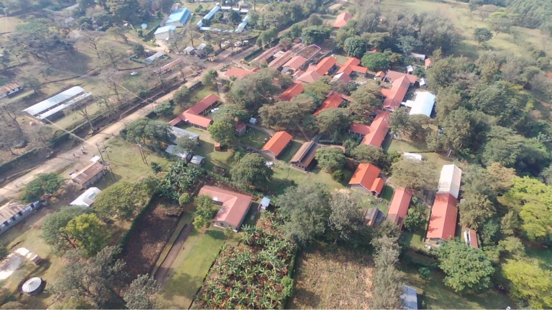
Data available from local planning authorities can be used to identify the planning policies relevant to the site. Satellite imagery is useful for locating features such as hedges, streams and transmission lines – all of which can have a bearing on renewable energy projects.
A streamlined site selection process
“Every project is different, for example a renewables developer might approach us in the early stages of a project, to assess the project’s feasibility. Using GIS, we identify the constraints which need to be considered in designing the layout of a development. GIS enables us to narrow down the wider area into an optimum development area, enabling an early indication of energy output from the scheme.”
The commitment to net zero will require an increase in the delivery of renewable energy projects. Geospatial technologies will be essential in ensuring that renewable energy sites are optimally sited and designed to reduce planning risk.


